
Khagolam Institute of Geoinformatics - Erandwane, Pune - Reviews, Fee Structure, Admission Form, Address, Contact, Rating

Description of Khagolam Institute of Geoinformatics, Erandwane, Pune
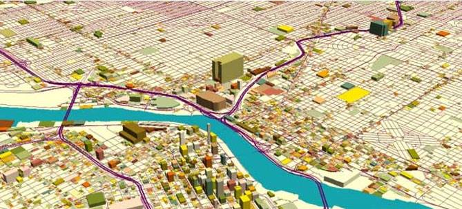
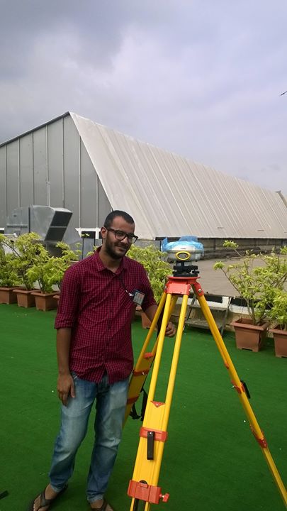
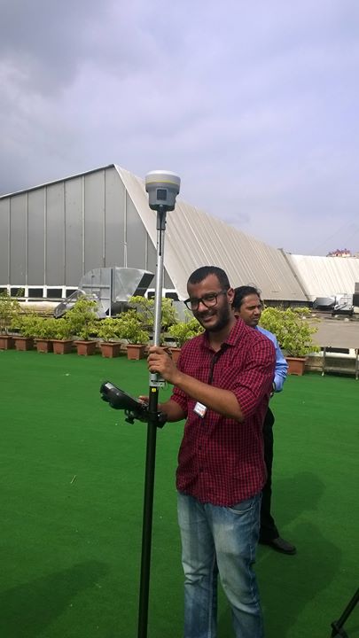
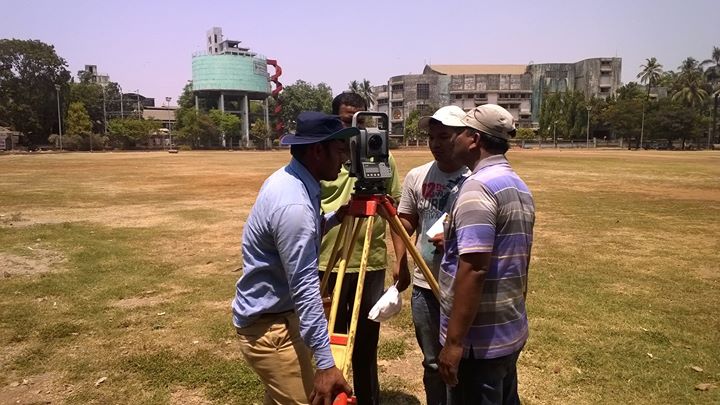
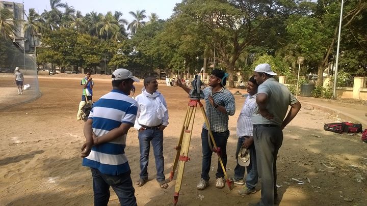
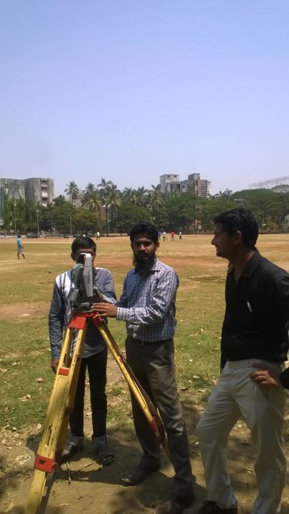
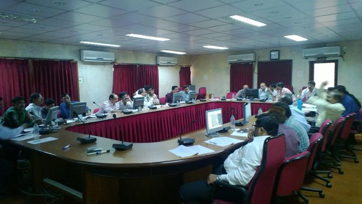
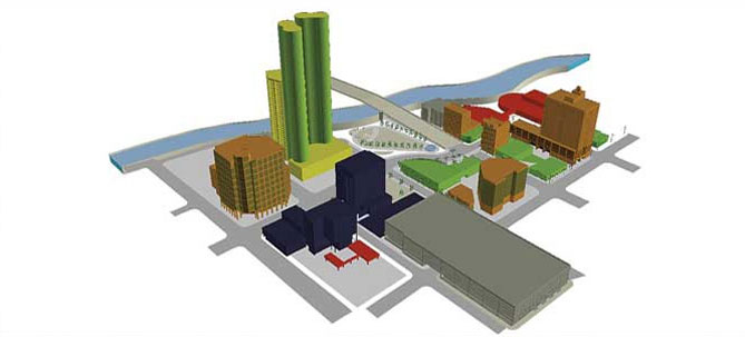
Gallery

Contact Details of Khagolam Institute of Geoinformatics
Address
206, Kedar Empire, Karve Road, Near Dhashabhuja Ganpati, Pandurang Colony, Erandwane, Pune, Maharashtra 411004, India
Website
Write a Review
Reviews of Khagolam Institute of Geoinformatics, Erandwane, Pune (5)

Mar 11, 2017
It is the best course if you are staying in different state and you want to complete understanding in short time. Course suggestions are to avoid unnecessary theory portion and focus more in practical. also providing little data for practice. Thank you.
Mar 11, 2017
It is a best course and most important time limited course so you can gain knowledge about the GIS in a very short time.
Mar 11, 2017
Training is awesome. we are Gaining many knowledge after this training. One thing that I would like to suggest that theory portion should be minimize and more time and focus is requires in the practical. other thing is that for the beginner, please provide some data so beginner can practice it. In the ArcGIS tool we can understand everything which is taught by Avinash sir but practice is the only things that helps us more to understand the ARCGIS tool. For the practice, please provide some data for the practice only. Avinash sir is very good teacher and he is also help us to solve many other issue like Geo-referencing from the satellite images. Thank you
Mar 11, 2017
All Civil Engineering students must do this course. Great experience with KIG group members.
Mar 11, 2017
Good Training On GIS softwares .Even for beginners, In short period we can be familiar with GIS softwares .

List of the course: • Certification course - Introduction to GIS – 3 month • Introduction to: - 6 days – AutoCAD Map 3D – ArcGIS – Quantum GIS – AutoCAD Civil 3D • GIS for: - 15 days – Urban Planning – Utility Management – Forestry – Environment – Agriculture • Advanced Surveying with Total Station – 4 days • Data Collection and maintenance with Mobile GIS – 2 days • Introduction to Photogrammetry – 7 days